

Discipline:
Aerial Survey
Location:
Newport
Client:
Redrow Homes South West
Sector:
Residential
Phase:
Pre Demolition
Size:
2 Hectares
Background
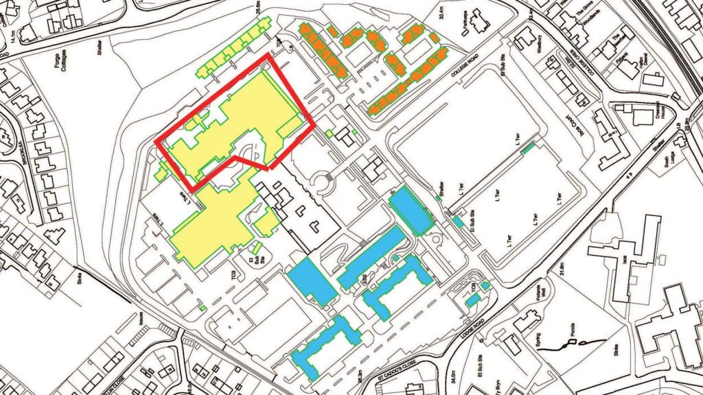
The Caerleon Campus Redevelopment in Newport involved the phased redevelopment of a former campus site, including a number of grade-listed buildings requiring detailed digital documentation to support their long-term conservation. As part of the wider redevelopment and phased demolition programme, T&P Regeneration was commissioned to undertake a high-resolution aerial survey to create an accurate, georeferenced record of the buildings. Due to the complexity of the structures and the level of detail required, the survey incorporated both nadir and oblique aerial imagery together with specialist 3D modelling and mesh refinement.
Objectives
The objective of the project was to undertake a high-resolution aerial survey of the grade-listed buildings to produce an accurate, georeferenced digital record which could be retained and reviewed for long term future heritage purposes after demolition. This included capturing the level of detail required for long-term conservation through specialist aerial data capture and detailed 3D modelling.
Scope of Works
T&P Regeneration prepared a site-specific flight plan, secured the necessary permissions, and developed the required health and safety documentation before undertaking the aerial survey. Temporary ground control points were established to produce accurate georeferenced imagery, with both nadir and oblique aerial photography captured to record the complex geometry and architectural detail of the listed buildings.
Following data capture, T&P Regeneration produced a Digital Terrain Model (DTM), a 3D point cloud and a high-quality 3D mesh, which was manually refined to provide the level of detail required for long-term conservation records. The project also included web-hosted and local data outputs, a video fly-through of the aerial imagery, specialist imagery for marketing purposes, and technical support to enable effective use of the survey data.
Outcome
The survey provided Redrow Homes South Wales with an accurate, georeferenced digital record of the listed buildings to support both the wider redevelopment programme and their long-term conservation. The refined 3D model, aerial imagery and supporting datasets captured the required level of detail and could be accessed through web-hosted and local outputs for future reference, measurement and review.
Category: